Mountain-Forecast.com
- 4.8
- Rating
- 100.00K
- Installs
- Free
- Price

 Analysis by App-foxy
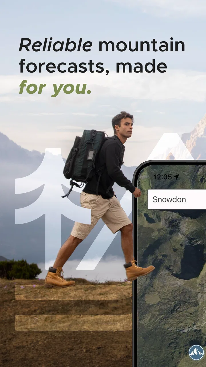
I use weather apps differently in the mountains than I do in town. A general forecast can be perfectly useful for commuting, yet still leave me asking the questions that matter before a hike: what will conditions look like near the summit, how might they change with elevation, and can I read the information quickly when I am tired or dealing with bright light, cold fingers, or a weak connection? Mountain-Forecast.com is built around that narrower problem. It is a weather app from Meteo365 Ltd. focused on mountain locations, with forecasts covering over eleven thousand peaks.
After spending time with it, I see the app as a practical specialist rather than a complete replacement for every weather tool on my phone. Its strongest quality is focus. Instead of making me search broadly for a nearby town and mentally adjust the result, it puts mountain forecasts at the center. That makes it especially useful for planning walks, climbs, ski days, and viewpoint trips where a small change in height can affect the experience.
The important distinction is that this is a planning companion, not a guarantee of safe mountain conditions. I would use it to compare possible outings and identify changing weather patterns, then combine that information with local warnings, route knowledge, and my own judgment. That balanced approach is where the app makes the most sense.
You May Also Like

 Blood Strike: 2.5 Anniversary
Blood Strike’s Loadouts Turn Every Drop Into a Tactical Gamble
A close look at Blood Strike’s custom loadouts: how fast access to signature weapons reshapes its battle royale rhythm, rewards preparation, and narrows the gap between fights.

 Pandora - Music & Podcasts
Pandora’s Music Is Easy to Start, but Harder to Recover
Pandora’s strength is its low-effort path from a seed to a station. Its weak spot is how much confidence it asks you to place in connection, setup, and quiet recovery.

 8 Ball Pool
 Is Built on Rivalries, Rematches, and Routine
A close look at the rivalries, rematches, shared routines, and unanswered safety questions that turn a quick pool match into a persistent mobile community.

 Samsung Music
’s Quiet Strength Is Playing What You Already Own
Its reach comes less from spectacle than from dependable access to a personal library. That simplicity is both the app’s strongest retention engine and its ceiling.

 AccuWeather: Weather Radar
AccuWeather Review: A Quick, Clear Forecast for Everyday Decisions
For everyday plans, the best forecast is the one you can understand quickly. AccuWeather makes rain timing, radar, and local conditions easy to act on, with a few trade-offs.

 Hill Climb Racing
Why Hill Climb Racing Still Turns Crashes Into One More Run
A tiny car, a bumpy hill and one more upgrade: Hill Climb Racing keeps resurfacing because its simple chaos makes every near-miss feel personal.
More From Our News Desk



Reading the forecast without fighting the interface
The app’s purpose is immediately understandable: choose a mountain and inspect its forecast. That direct structure is easier for me than a broad weather app that begins with a city, neighborhood, or map and expects me to find the relevant high point myself. For anyone who regularly checks named summits, the specialized approach reduces the amount of interpretation needed before making a plan.
I also appreciate that the forecast is organized around the mountain rather than only the nearest settlement. That matters because a village forecast can look comfortable while the upper part of a route is colder, windier, or cloudier. The app gives the mountain itself a place in the decision, which is a meaningful improvement over simply checking a familiar local weather screen.
Readability is not only about large text. It is also about whether the information has a sensible order. When I am comparing a morning departure with a later start, I want to identify the broad trend first and then inspect the details. A mountain-focused forecast supports that workflow better than a general app filled with unrelated local conditions, lifestyle panels, and promotional cards.
Still, weather forecasts contain a lot of visual information. Temperature, wind, precipitation, cloud, and elevation-related context can become tiring to scan, particularly for somebody who prefers plain language over dense forecast displays. I would not describe this as a deliberately simplified tool. It is more useful for readers willing to learn what each part of a mountain forecast means.
My practical advice is to avoid reading only the single most attractive number. Look across the forecast period and compare the lower, middle, and upper parts of the mountain when those views are presented. A comfortable valley temperature should not be treated as a summary of the summit. The app is most valuable when I use it to notice contrasts rather than to hunt for one reassuring symbol.
Finding a useful peak instead of settling for a nearby town
The large mountain catalogue is one of the app’s defining advantages. With coverage for more than eleven thousand peaks, it is aimed at people whose destinations do not always appear as ordinary towns in a weather search. That breadth also changes how I plan: I can investigate the actual objective, compare neighboring peaks, and decide whether a particular route is sensible for the day.
This is a subtle but important workflow improvement. If I am choosing between two ridgelines, I can check both mountain locations instead of relying on one forecast for the entire area. Differences between nearby summits may not tell me exactly what I will encounter, but they can reveal whether the weather pattern is stable or whether the high ground deserves extra caution.
The trade-off is that a large catalogue can feel less personal than an app built around one home location. Someone who only wants a quick forecast for a daily walk may find the mountain-first approach more specialized than necessary. For that person, a standard weather app may be faster because it opens directly to a familiar place and usually emphasizes current conditions rather than summit planning.
Using it with different abilities and real mountain situations
I find the app most useful when I plan around the person as well as the peak: a shorter outing, a slower pace, or a sheltered alternative can matter as much as the forecast itself. Checking the mountain ahead of time gives me a concrete basis for that conversation, while leaving room to change plans if conditions or energy levels shift. That practical approach leads naturally to how different abilities shape a real mountain day.
Motor effort, sensory load, and outdoor handling
Mountain weather is often checked in awkward circumstances: standing beside a trailhead, wearing gloves, holding trekking poles, or trying to make a decision before leaving a shelter. That changes what “easy to use” means. A screen that feels comfortable at home may be harder to operate when hands are cold or movement is limited.
For that reason, I prefer to do the detailed comparison before setting out. I can choose the relevant peak, inspect the expected changes, and make a simple plan while seated and unhurried. In the mountains, I then need the app mainly for confirmation rather than constant browsing. This two-stage habit reduces the amount of precise tapping required outdoors and is a useful workaround for anyone with limited dexterity or fatigue.
I would also avoid making the app my only source of information when I know I may be unable to interact with a phone easily. A person with tremors, reduced grip strength, joint pain, or limited reach may find repeated scrolling and selection frustrating, especially in cold weather. The app can support preparation, but it does not remove the physical demands of using a touchscreen outside.
Sensory needs deserve equal attention. Mountain light can be harsh, glare can obscure details, and fog can make a screen feel strangely bright while still being difficult to read. I found it more sensible to check the forecast in a controlled environment, adjust the phone’s display settings to my preference, and avoid assuming that a quick glance in direct sunlight will be enough.
For readers with low vision or color-vision differences, I would be cautious about relying on color alone when interpreting forecast graphics. Weather information should be cross-checked through the surrounding labels, numbers, and overall trend rather than a single shade. I cannot treat the app as a substitute for device-level accessibility tools, and the experience will depend partly on the phone’s text scaling, contrast, magnification, and screen reader behavior.
That is not a criticism unique to this app; it is a reminder that a forecast is only useful if the person can perceive and operate it. Before depending on it for a demanding outing, I would test it with the accessibility settings I normally use. If the layout becomes cramped or information is difficult to reach, a simpler forecast source may be the better primary option.
A realistic planning routine for mixed abilities
Imagine I am arranging a weekend outing with a friend who walks more slowly and needs extra breaks. I would not use the app merely to ask whether rain is expected. I would select the intended peak, inspect the forecast across the planned time window, and pay particular attention to whether upper-mountain conditions deteriorate later in the day. Then I would compare that with the route’s exposed sections and agree on a turnaround point before leaving.
This workflow helps because it turns weather into a shared planning conversation. A friend who cannot comfortably operate the phone outdoors can still participate in the decision if I read the relevant details aloud or summarize them in plain language. Someone who is sensitive to wind, cold, glare, or sudden weather changes can explain what conditions would make the outing uncomfortable or unsafe.
Another useful habit is to prepare a short verbal summary rather than expecting everyone to interpret the screen in the same way. For example, I might note that the lower route looks manageable early but the summit becomes less appealing later. That is more actionable than showing a complicated forecast and assuming the group will draw the same conclusion.
The app does not make a route accessible by itself. It cannot change steep ground, exposure, transport limitations, or the availability of shelters. Its contribution is narrower but still valuable: it can help a group make a more informed choice about when and where to go, and whether the planned outing leaves enough flexibility for different energy levels.
Access when connectivity, fatigue, or stress changes the picture
Situational access is especially important for a mountain weather app. A person may have no difficulty reading a forecast indoors but struggle after a long ascent, during a headache, in rain, or while trying to preserve phone battery. I therefore see the best use of Mountain-Forecast.com as preparation before the trip, with occasional checks rather than continuous dependence.
Before departure, I would record the key forecast points in a note or share them with the group. That is helpful for anyone who cannot easily view a screen, and it protects against the practical problem of handling a phone at an exposed viewpoint. It also encourages me to think through alternatives instead of treating the current forecast as permission to continue.
A general weather app may be a better companion for live local conditions, alerts, or a familiar home-screen glance, depending on what the user needs. Mountain-Forecast.com earns its place when the question is specifically about a peak. I would happily use both: the specialist app for mountain-focused planning and my usual weather source for broader local context.
People who travel with a support worker, family member, or group leader may find the specialist focus useful because it gives everyone the same named objective to discuss. That can reduce ambiguity when several places share similar names. At the same time, the person coordinating the outing should not assume that a mountain forecast covers every access point, road, trail segment, or nearby valley equally well.
Where the experience still has barriers
The main barrier is complexity. A mountain forecast has more layers than a basic “rain or no rain” screen, and that can be intimidating for beginners or people who process information more comfortably in small, clearly prioritized steps. I would like a new user to spend time learning the display before using it for a serious trip, rather than opening it for the first time at the trailhead.
Another limitation is the risk of false precision. Detailed-looking weather information can encourage overconfidence, especially when the screen appears authoritative. Mountains are changeable, and a forecast cannot describe every gust, cloud bank, slippery surface, or local effect along a route. The app is strongest as a comparison and planning aid, not as a promise that conditions will match the screen.
There is also a cost consideration. The app is free to install, but it includes optional in-app purchases priced from $3.99 to $24.99 per item. That does not make the basic decision to try it difficult, yet anyone who wants to avoid unexpected spending should review purchase choices carefully and decide whether the free experience already meets their needs.
For families, the Everyone content rating makes the app broadly suitable from an age-classification perspective. That should not be confused with independent safety advice for children in the mountains. A young user may be able to read the forecast, but an adult still needs to handle route selection, supervision, equipment, and changing conditions.
The current version is 4.1.1 and it runs on Android from version 7.0 onward, which gives it a reasonably broad reach among older devices. Even so, older phones may make dense forecast screens less comfortable to use, particularly for people who depend on enlarged text or other display adjustments. I would test the exact phone I plan to carry, rather than assuming that operating-system compatibility guarantees a comfortable experience.
Who should choose it, and who should look elsewhere
I would recommend it to hikers, climbers, ski-tour planners, photographers, and anyone who routinely chooses a named mountain rather than a city. It is also a good fit for careful planners who like comparing several peaks before committing to one. The large coverage area gives the app a clear reason to exist, and the mountain-specific viewpoint is more relevant than a generic town forecast for many outdoor decisions.
I would be more hesitant to recommend it as the only weather app for somebody whose needs are mostly urban. If you want pollen information, commuting conditions, neighborhood rain timing, or a quick glance at the weather outside your home, a general-purpose alternative may be less demanding. The same applies to users who need a very minimal interface and do not want to interpret mountain-oriented forecast details.
It may also be the wrong choice for somebody expecting navigation, route grading, emergency coordination, or a complete accessibility solution. Its value is weather information for peaks. It supports better decisions, but it does not replace a map, a local hazard service, a charged phone, suitable equipment, or an agreed plan for turning back.
My strongest recommendation is to pair it with a repeatable routine. Check the target peak, compare the time periods, look for changes with elevation, and discuss the result with whoever is coming. Then check official local warnings and make sure the plan still works if the forecast is wrong. This approach extracts the app’s useful specificity without asking it to do a job it was never meant to do.
My inclusive verdict after using it
Mountain-Forecast.com is a focused weather app that makes more sense the more specific your outdoor destination becomes. I like that it encourages me to think about the actual mountain instead of treating a nearby town as an adequate substitute. Its broad peak coverage and specialist purpose are genuine strengths, while the need to interpret detailed information and use it responsibly keeps it from being a universal weather solution.
The app has a strong accessibility story in the practical sense that it can support planning for different bodies, energy levels, and sensory needs when used ahead of time. I can prepare a readable summary, share the important points with a group, and use the forecast to build more flexible plans. But the outdoor experience still depends on the phone, the conditions, and the user’s ability to operate a touchscreen under pressure.
Its average rating of 4.8 from around 1.2 thousand ratings suggests that many users value the focused approach, and its install base has passed one hundred thousand. Those figures do not remove the need for personal testing, but they fit my impression: this is a well-defined tool for a particular kind of weather question.
I would install it for mountain planning, not as my only source of safety information. If your trips revolve around named peaks, it deserves a place in your preparation routine. If you mainly need simple local weather or highly guided accessibility features, keep your usual alternative close by. Used with that distinction in mind, this free app from Meteo365 Ltd. is a useful way to make mountain forecasts more relevant, more discussable, and easier to connect with the real needs of a group.
It was released on August 25, 2023, and remains an approachable option for anyone using a compatible Android device. My final view is positive but measured: the app does not make mountain weather simple, yet it does make the right mountain the starting point. For me, that is the difference between checking a forecast and actually planning around the terrain.
FAQs for Mountain-Forecast.com
01What is Mountain-Forecast.com used for?
Mountain-Forecast.com provides weather forecasts designed specifically for mountain locations around the world. Instead of showing only a general town forecast, it can offer conditions at different elevations, which is useful for hikers, climbers, skiers, snowboarders, and other outdoor enthusiasts. Forecast details may include temperature, wind, precipitation, snow conditions, cloud cover, and freezing levels, depending on the selected mountain.
02Can I use Mountain-Forecast.com to plan hiking or climbing trips?
Yes, the service can be helpful when preparing for hiking, climbing, trekking, skiing, or similar activities. Its elevation-based forecasts make it easier to understand how weather may change between the base, middle, and summit of a mountain. However, forecasts can change quickly in mountainous areas, so users should also check official warnings, local conditions, trail reports, and reliable safety information before starting an activity.
03Does Mountain-Forecast.com provide forecasts for specific elevations?
One of the platform’s most useful features is its focus on mountain elevation. For many listed peaks, forecasts are presented for different levels, such as the base, mid-mountain, and summit. This helps users compare temperature, wind, and precipitation as they gain altitude. Availability and the exact number of forecast levels can vary depending on the mountain and the information provided for that location.
04Is Mountain-Forecast.com available as an Android or iOS app?
Mountain-Forecast.com is primarily known as a mobile-friendly website that can be opened through a browser on Android phones, iPhones, tablets, and computers. Depending on the current distribution in your region, an official app or app-like access option may also be available. Before downloading anything, check that the publisher and website address are legitimate, and avoid unofficial applications using the same name.
05Can Mountain-Forecast.com be relied on as the only source of mountain weather information?
It should not be treated as the only source for making safety-critical decisions. Mountain weather can change rapidly, and forecasts may not fully reflect sudden storms, local wind effects, avalanche danger, or dangerous visibility. Use Mountain-Forecast.com as one planning tool alongside national weather services, mountain rescue or park advisories, avalanche bulletins, guide recommendations, and current observations before heading outdoors.
Pros
- Detailed mountain forecasts with altitude-specific conditions.
- Useful summit weather data for planning climbs and hikes.
- Covers a large number of peaks worldwide.
- Includes wind
- temperature
- precipitation
- and freezing-level information.
- Forecast updates help users adapt plans to changing conditions.
Cons
- Coverage and forecast detail vary between different mountain locations.
- Some forecasts may be difficult for beginners to interpret.
- Weather predictions can change quickly in mountainous areas.
- The website-focused experience may feel less convenient than a native app.
- Limited connectivity can make accessing forecasts difficult in remote regions.

Mountain-Forecast.com
Gallery